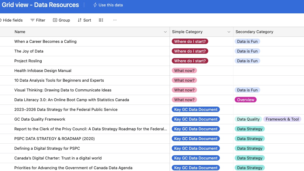
An environment scan of data resources with 700+ links updated daily
Share this Resource:
An environment scan of data resources with 700+ links updated daily
Share this Resource:
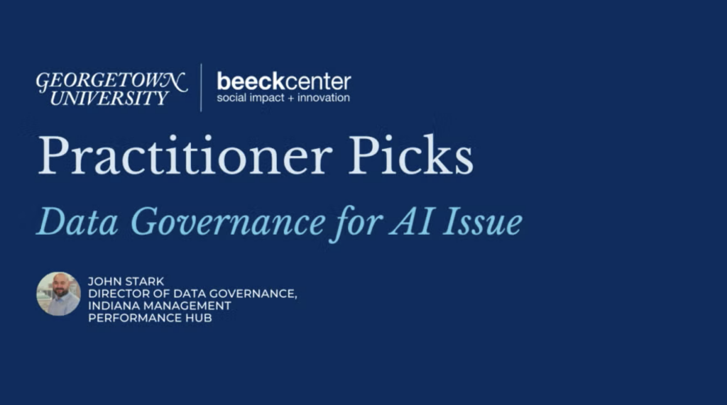
Practitioner Picks is a quarterly series designed to add fresh resources to the Digital Government Hub’s library, helping people improve government digital service delivery. Each issue spotlights resources chosen by practitioners in a specific service delivery area along with their insights on why these picks are valuable additions to the Hub.
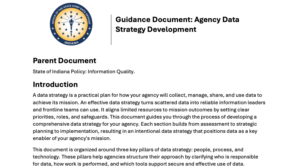
This guidance document provides a framework for developing an agency-wide data strategy that aligns data governance, management, and analytics with organizational goals and service delivery.
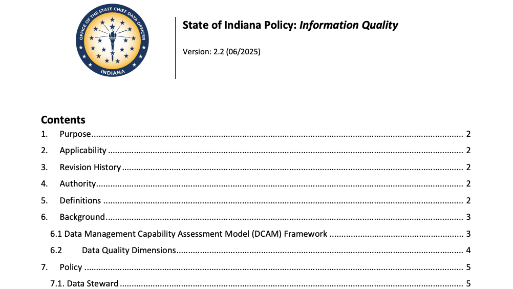
This policy establishes a framework for ensuring the quality, accuracy, and reliability of government data to support effective decision-making, analytics, and artificial intelligence initiatives.