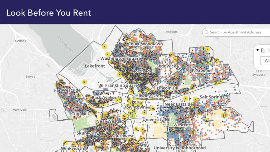
A free online tool that helps renters identify housing code violations and property conditions before signing a lease by allowing users to search rental properties and view inspection history.
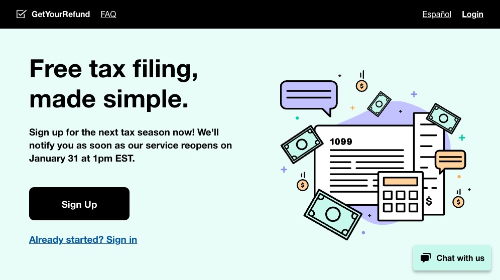
GetYourRefund.org is an online portal by Code for America that helps low-income individuals claim thousands of dollars in tax credits, even after the traditional tax deadline has passed.
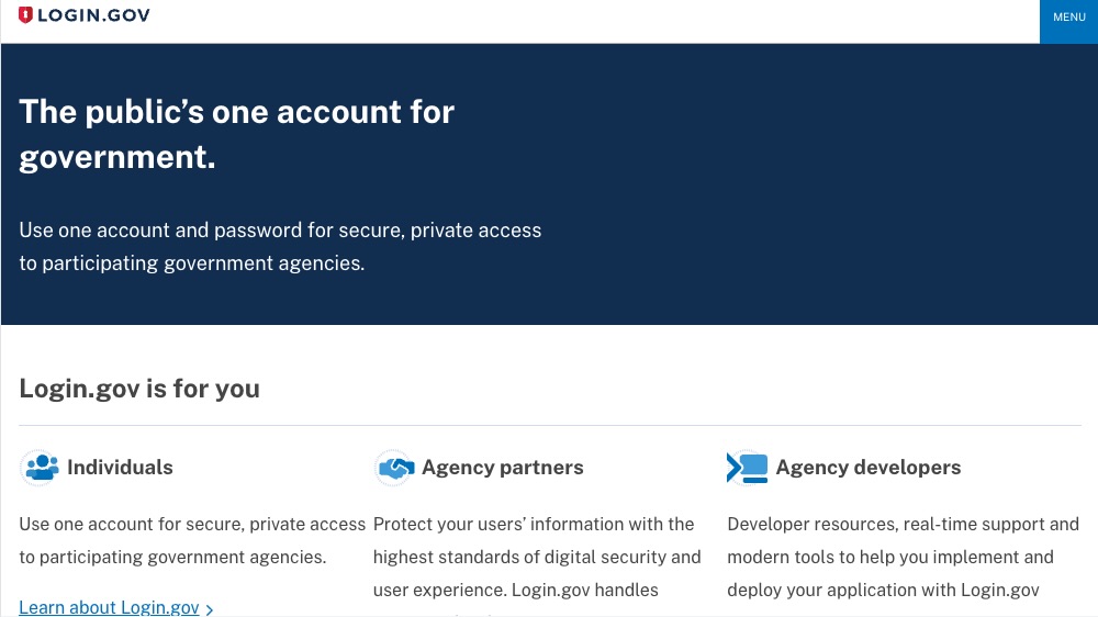
Described as the “public’s one account for government,” this U.S. government website allows users to use one account and password for secure, private access to participating government agencies.
The New York Experience – or “NYX” – aims to transform the customer experience across New York State agencies making our government work better for our people.
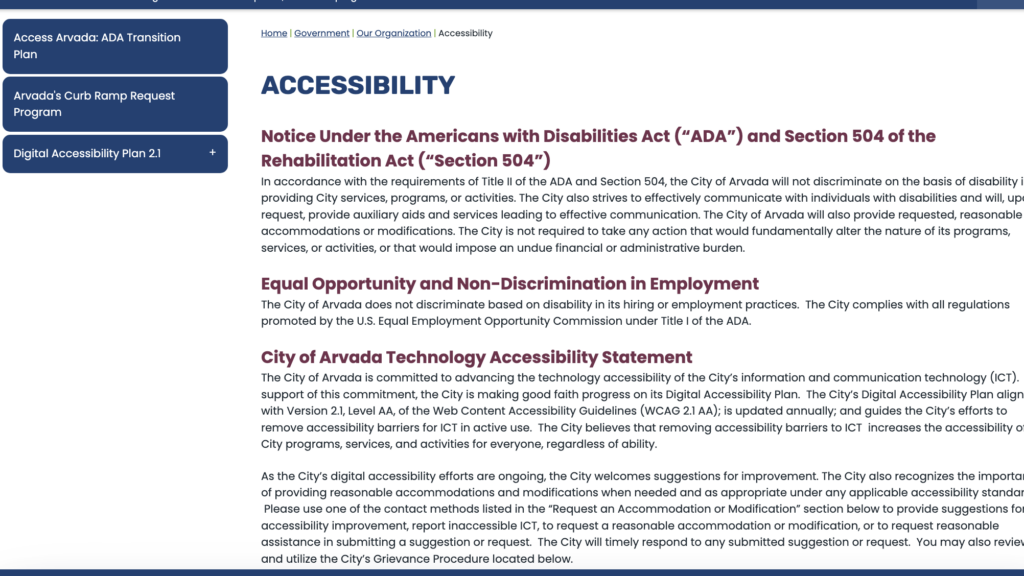
This accessibility webpage outlines the City of Arvada’s commitment to making its digital services, programs, and information accessible to people with disabilities.
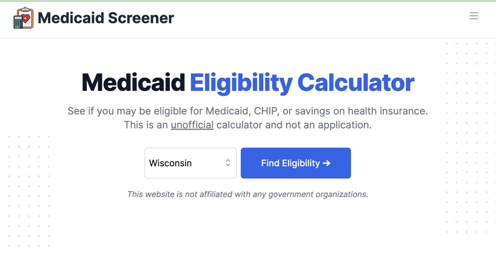
Unofficial calculator allowing users to see if they may be eligible for Medicaid, CHIP, or savings on health insurance. The calculator can be embedded on other websites.
The New York State WIC program website provides access to nutritious foods, nutrition education, breastfeeding/chestfeeding support, and referrals to eligible pregnant, breastfeeding, and postpartum individuals, infants, and children up to age five.
This hub introduces the UK government's Algorithmic Transparency Recording Standard (ATRS), a structured framework for public sector bodies to disclose how they use algorithmic tools in decision-making.